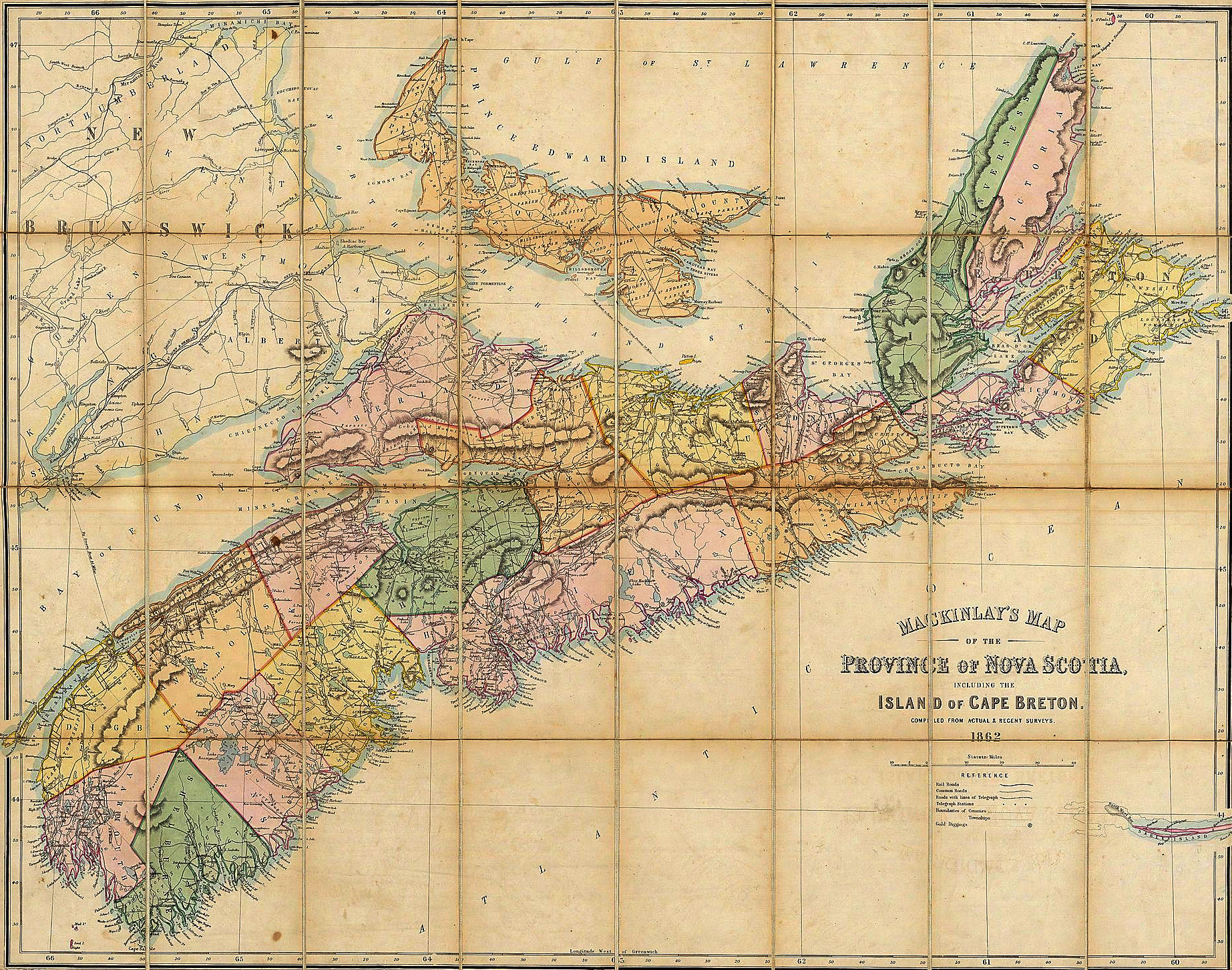
Before there were highways, there were trails. Before there were bridges, there were rivers to cross. Before colonial Nova Scotia could expand beyond its coastal settlements, people had to develop routes through the wilderness.
In eighteenth-century Nova Scotia, water was the easiest way to travel. Coastal waters, rivers, and tidal waterways connected many settlements. However, as settlement expanded and military forces established new positions, overland routes became increasingly important. Roads were needed to connect communities, move supplies, support military operations, and link administrative centres. Military engineers and surveyors made their mark here.
Long before Halifax was founded, Acadian communities had developed around Annapolis Royal, Minas, and Chignecto. The Acadians constructed, repaired, and maintained local roads, but the growing British presence brought a more systematic approach to surveying and transportation.
After the British acquired mainland Nova Scotia in 1713, authorities at Annapolis Royal became increasingly involved in road administration. Royal Engineers surveyed large areas of the colony. Their initial surveys extended from Passamaquoddy to Cape Sable and included the Annapolis River basin, the Bay of Fundy, and numerous Acadian settlements.
These were more than lines drawn on a map. The Engineers recorded settlements, waterways, landholdings, and natural resources. Their work provided information essential to military defence, settlement planning, and developing transportation routes. Building the roads was a shared enterprise. Colonial officials, civilian surveyors, contractors, and military engineers all played their part. Local communities provided much of the labour needed to construct and maintain the roads.
A major change came in 1749. Approximately 3,000 settlers arrived at Chebucto Harbour to establish Halifax as a permanent British settlement and military base. Surveyor Charles Morris, working with Captain John Bruce, RE, laid out the new town. Morris would become Nova Scotia’s first Surveyor General.
Halifax soon became the region's principal British military and administrative centre. As settlement pushed outward from the harbour, reliable roads and bridges became essential for connecting the growing population with military installations and other strategic locations.
The situation changed dramatically again in 1755. As the Seven Years’ War spread to North America, the British deportation of the Acadians transformed Nova Scotia’s settlement pattern. Between 1760 and 1768, approximately 8,000 settlers arrived from New England. New communities placed greater demands on the colony’s transportation network, necessitating new roads, bridges, and surveyed routes.
By the late eighteenth century, roads were steadily extending settlement beyond the waterways that had once been its principal highways. The military engineers did not build Nova Scotia’s early road network alone. Their contribution was part of a much greater effort. Yet through surveying, planning, construction expertise, and infrastructure management, they helped transform maps and wilderness routes into the beginnings of a transportation system. Many of Nova Scotia's secondary highways today follow the alignment established by the Military Engineers and Surveyors of the colonial French and British regimes.